
The Transit-First Neighborhood Framework
Navigating New Orleans without a vehicle is feasible if you align your accommodation with the historic streetcar network and the 202 Airport Express route. The historic core is compact, but its logistical efficiency depends on your proximity to the Regional Transit Authority (RTA) "spokes." The CBD serves as the central hub from which most transit lines radiate. When planning a car-free stay, evaluate a neighborhood by its "last-mile" connectivity—the distance from a transit stop to your hotel lobby, especially after dark. A logistics-first approach prioritizes stays within a three-block radius of major corridors like Canal Street, St. Charles Avenue, or the Poydras Street bus stops. This reduces reliance on rideshares and maximizes the value of the city's $8 3-day Jazzy Pass.
CBD and Warehouse District: The Central Hub
The Central Business District (CBD) and the Warehouse District are the most practical choices for car-free visitors. Staying here places you at the intersection of the St. Charles Streetcar (green cars) and the Canal Street Streetcar (red cars), allowing you to traverse the city from the Garden District to Mid-City with minimal transfers. The CBD is also the primary terminus for the 202 Airport Express, making the transition from Louis Armstrong New Orleans International Airport (MSY) to your hotel smooth. The Warehouse District offers an industrial-chic aesthetic with high walkability, housing top-tier restaurants and the National WWII Museum. Most hotels here are within a 10-minute walk of the St. Charles Streetcar, providing a reliable link to Uptown. Because these neighborhoods are active business hubs, the streets are generally well-lit and populated during the day, though visitors should remain observant late at night.
French Quarter: Maximum Walkability
The French Quarter offers the highest level of pure walkability. Once you are in the Quarter, almost every major attraction—from Jackson Square to the French Market—is within a 15-minute stroll. The neighborhood is bounded by the Canal Street Streetcar line to the west and the Rampart-St. Claude Streetcar line to the north, providing two major transit arteries for exploring further afield. However, the French Quarter presents unique car-free trade-offs. The historic streets are often crowded, and uneven slate sidewalks can be challenging for those with mobility issues. Visitors seeking a car-free experience should look for hotels on the "Upper" side of the Quarter (closer to Canal Street) to maintain the easiest access to the transit hub while remaining within walking distance of the historic core. The Riverfront Streetcar also runs along the edge of the Quarter, providing a scenic way to reach the French Market without navigating the interior crowds.
Lower Garden District: The Streetcar Advantage
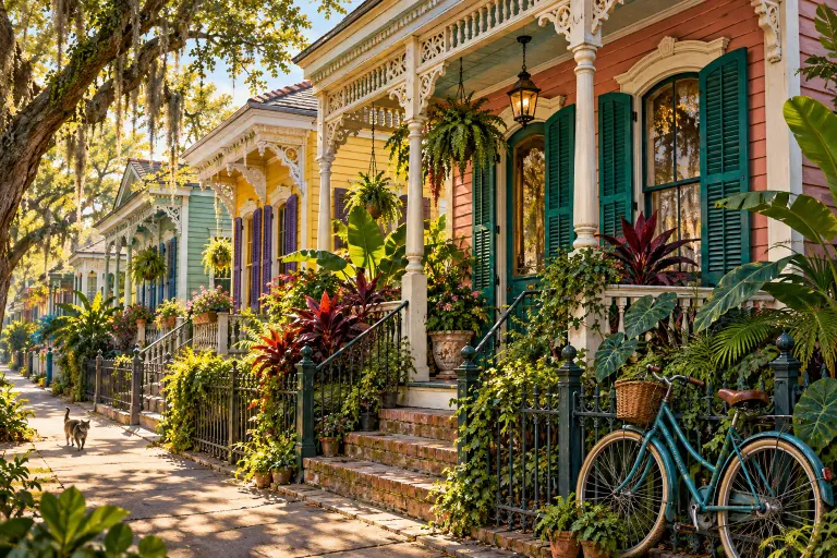
If the bustle of the CBD or the French Quarter feels overwhelming, the Lower Garden District offers a sophisticated alternative. This neighborhood is anchored by the St. Charles Streetcar line, which runs 24 hours a day. Staying here allows you to experience the city's famous oak-canopied transit route daily, providing a historic commute into the downtown core. The fare for a single ride is $1.25, but the Jazzy Pass remains the best value for frequent travelers. The Lower Garden District is well-suited for visitors who enjoy exploring on foot but want a quieter home base. Magazine Street, a major commercial corridor filled with boutiques and cafes, runs through the heart of the neighborhood and is served by the #11 Magazine bus. While this area is generally safe, it is more residential, so visitors should plan for slightly longer transit wait times and be mindful of their surroundings when walking between the streetcar line and their accommodation at night.
Navigating the 202 Airport Express Corridor
The RTA’s 202 Airport Express is the most cost-effective solution for reaching the city, charging a standard fare of $1.25. The bus picks up passengers at MSY Ground Level, Zone B5, and travels directly into the city center. For a seamless stay, target hotels near the primary drop-off points: Elk Place at Cleveland (ideal for the French Quarter and North CBD) and the Poydras Street stops (ideal for the South CBD and Warehouse District). Walking distances from these stops are manageable. For example, the walk from the Elk Place stop to major hotels on Canal Street, such as the Sheraton New Orleans, is approximately 11 minutes (0.5 miles). By mapping your hotel choice to these specific stops, you can eliminate the need for expensive airport shuttles. Always check the official RTA website for the most current 202 schedule before your flight.
Last-Mile Safety and Transit Reliability Tips
Reliability is critical for car-free travel. The New Orleans RTA’s Le Pass mobile app provides real-time tracking for buses, streetcars, and ferries. Before arriving, visitors should download the app to purchase Jazzy Passes—an $8 3-day pass is the most efficient option for a weekend stay. The app also provides service alerts, which are essential because historic streetcars can occasionally experience delays due to track maintenance or special events. Safety in New Orleans requires a proactive mindset. While transit-friendly neighborhoods are generally safe, "last-mile" safety involves avoiding dark, deserted streets. If your destination is more than a few blocks from a major transit stop after 10:00 PM, it is often wiser to use a rideshare service. Always wait for your transit in well-lit areas and keep your phone and valuables secure. By combining the Le Pass app’s real-time data with common-sense navigation, you can enjoy New Orleans without the stress of parking.
What to verify before you go
- RTA Fare Updates: Confirm current pricing for Jazzy Passes on the official RTA website.
- Le Pass App: Download and set up your payment method in the Le Pass app.
- Streetcar Service Alerts: Check the RTA Service Alerts page for any planned maintenance.
- Hotel Walking Route: Verify the walking path from the 202 Airport Express stop to your hotel lobby.
Stress-test your shortlist against one real evening
Before committing, run a single concrete scenario through each neighborhood you are considering: the night you finish dinner across town at 10 p.m. Ask how you get home from there — a walk you would actually enjoy, a streetcar still running at useful frequency, or a ride whose pickup point you can picture. A base that looks central on the map can fail this test if its last-mile block is one you would rather not walk late, while a slightly farther neighborhood on a reliable corridor passes easily. The evening-return test exposes the difference between distance and connectedness, which is the entire car-free question in miniature. If a candidate neighborhood fails it, no daytime walkability score should rescue it.
Sources and update notes
Independent research for NewOrleans.blog was conducted using primary transit and tourism data. Details regarding fares and routes are based on 2026 service schedules and are subject to change by the RTA.